The Llandudno Loop
Hiking the Loop
- Distance
- 19.8 km
- Climbing
- 564 m
From the hotel, the route follows Llandudno’s waterfront towards the first proper climb of the day: the Little Orme. There’s a café near the bottom, which makes a very convenient excuse for coffee before heading uphill. We took full advantage.
As you climb, Llandudno starts to open out behind you, with the bay below and the Irish Sea stretching into the haze. The path is steep enough to get your attention, and it was seriously windy when we walked it. At a few exposed points we had to lean into the gusts to stay upright. The sheep nearby seemed entirely unfazed, which felt a little smug.
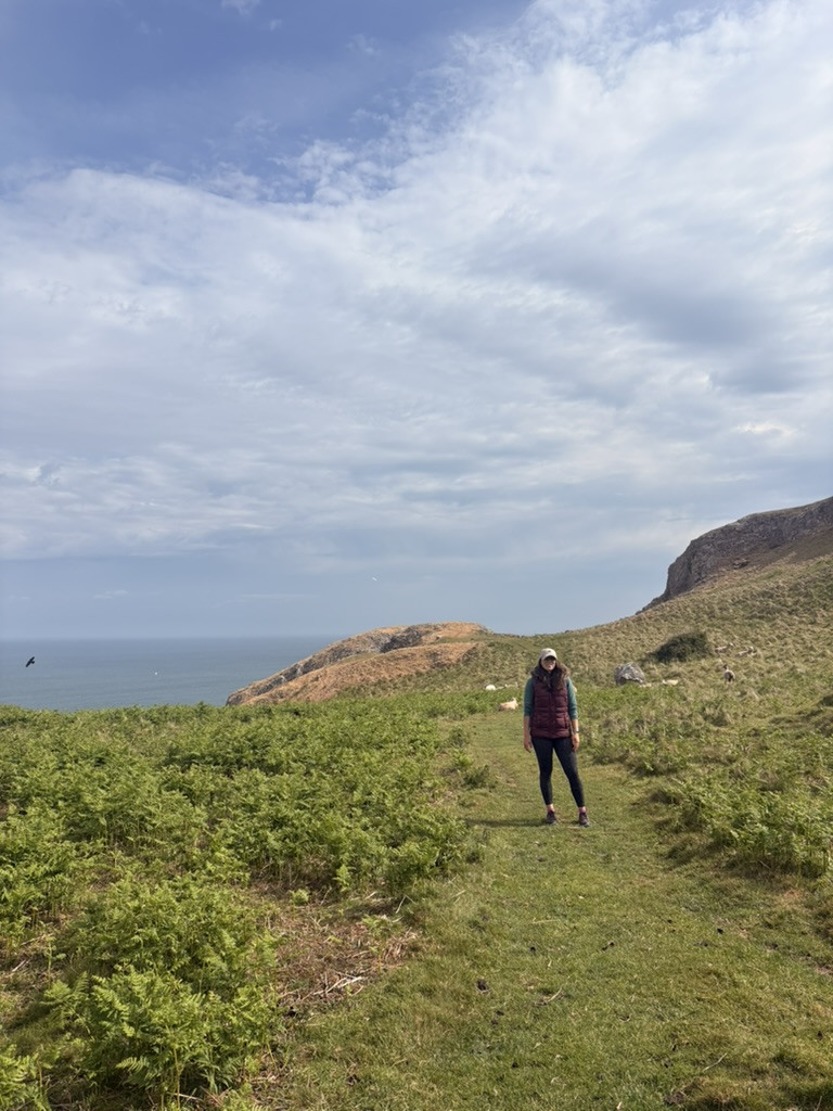
The path then drops sharply towards Porth Dyniewaid. Keep an eye out for traces of old Welsh mining on the way down, reminders that this coastline has had rather more going on than walkers admiring the view. Seals are sometimes spotted in the water here too. We saw none, naturally.
From here the route works around towards Llandudno’s other coast, moving through woodland, earthy tracks, scrub and open grass. It’s one of the most varied sections of the loop. Along the way you’ll pass ivy-covered stone walls, old iron gates and large houses in various states of repair, some beautifully restored and others being steadily reclaimed by the landscape.
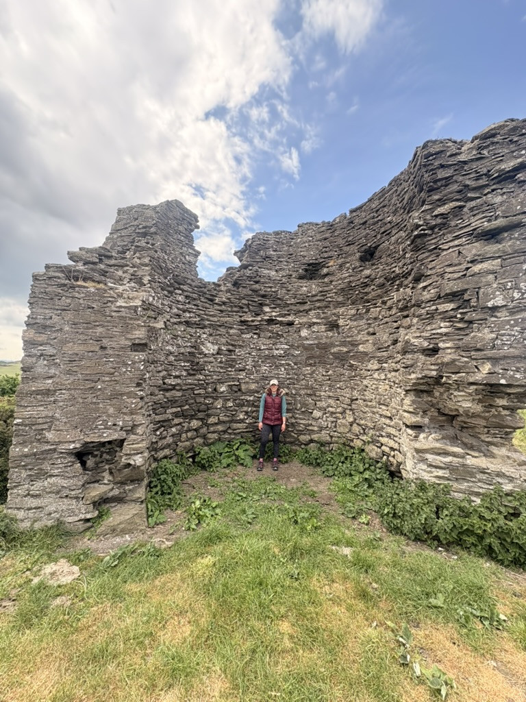
Around halfway you’ll reach Bryniau Tower, a solitary stone ruin on the hill. Its origins are disputed, with theories linking it either to Conwy Castle or to an old warning system for pirate raids. Whatever its original purpose, it makes a very good lunch stop. We sat here with sandwiches looking out across Llandudno’s southern side, which is probably a considerably more peaceful use for it.
The route then drops towards the southern bay, where you’ll find broad sandy stretches, clear turquoise water in places and views towards Anglesey in the distance. Progress can be a little slower here thanks to softer sand and more people, although by this point there’s no particular reason to hurry.
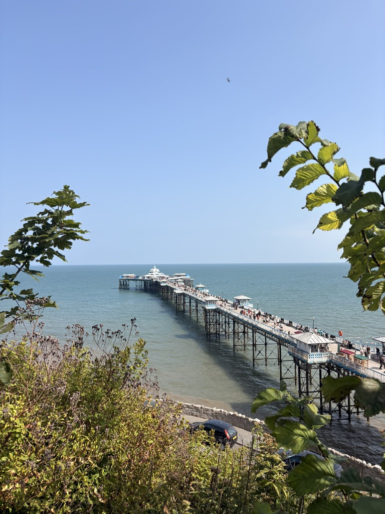
From the bay, the final stretch cuts back across Llandudno towards the pier. We finished at the oyster bar and, after nearly 20 kilometres on foot, decided restraint had probably had its chance. A frankly heroic quantity of oysters followed, along with a few other bits of seafood. Not a bad way to finish the loop.
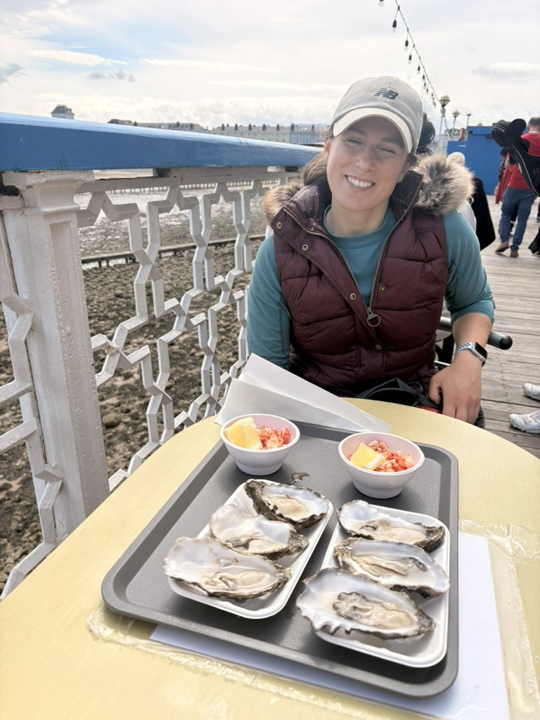
Photo journal
Scenes from the route.
Open any photograph to see it in full and browse the complete set.
1 of 6