Morecambe Bay Lancaster Loop
A walking loop in three distinct parts: the huge exposed sands of Morecambe Bay, the clear water and quiet towpath of the Lancaster Canal, then the River Lune and cycleway back to Morecambe. We had sunshine, long views towards the Lake District and one shoe briefly claimed by the mud.
Morecambe Bay → Lancaster → Morecambe
- Distance
- 21.5 km
- Climbing
- 172 m
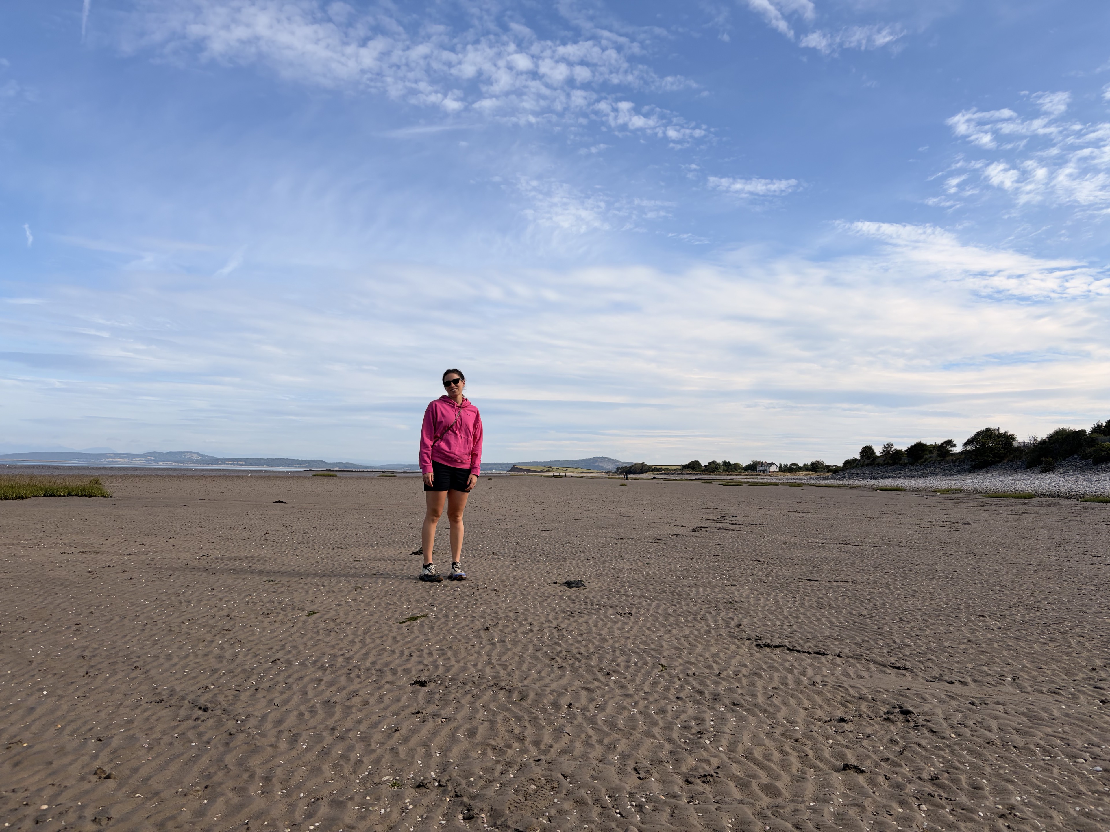
We arrived early in Morecambe, partly because the car parks fill quickly in summer, then headed straight for the shore. It was sunny, with the Lake District sitting across the water in the distance.
The scale of the beach only becomes clear once you are down on it. At low tide, the sand stretches far into the bay and runs on along the coast for what feels like miles. The sea can be so far away that the usual idea of a beach stops being particularly useful. This is a huge open landscape, with old piers and other structures rising from the exposed sand and looking surprisingly small against it. The Lake District stays on the horizon while the shore seems to carry on indefinitely. That length and openness are what make it special.
Morecambe Bay is the largest intertidal area in the UK, with around 120 square miles of sand and mud appearing and disappearing with the tide. Its name has a pleasingly uncertain history too. Around 150 CE, the Greek geographer Ptolemy recorded a place on Britain’s north-west coast as Morikambe eischusis. Eighteenth-century antiquarians decided that he meant this bay and the name found its way onto maps, although Ptolemy’s coordinates are too vague to settle the matter. They may have been right. Either way, the name stuck.
For all that space, the Bay still found a very precise way to catch us out. One muddy channel had rocks laid across it. I picked my way over them. Veronica stepped alongside instead and promptly sank into the mud. When she tried to lift her foot, it came up without the shoe. I edged back over the rocks and pulled it free, briefly earning the title of hero. We had crossed miles of open sand without trouble, then the Bay collected a shoe the moment we became casual about it.
By the time we left the shore, the beach already felt like a walk in its own right. A five-minute cut across land brought us to the Lancaster Canal, and the change from enormous open bay to narrow, sheltered towpath was immediate. The canal was remarkably clear, with fish easy to follow beneath the surface. We passed the odd fisherman and received friendly greetings from nearly every other walker, a reassuring reminder that we were, in fact, in the North.
There seemed to be a bench every half-kilometre or so, and we eventually claimed one for lunch. It is an unhurried part of the route, with the canal doing most of the navigational work for you.
As the route rounds towards Lancaster, it meets the River Lune, which is impressively wide here. Much of Lancaster’s story grew around this crossing and its access to the sea. A Roman fort stood on Castle Hill from the early 70s CE, while St George’s Quay later became the centre of an important eighteenth-century port. With the river in front of you, the reason for both locations is easy to understand.
The Lancaster to Morecambe cycleway completes the third side of the triangle. After the shifting sand and slow canal towpath, it gives the route a simple, direct finish back towards the seafront.
Back in Morecambe, we stopped for a well-earned pint at The Pier Hotel. After a sunny day around the bay, canal and river, it did exactly what was required.
Arrive early in summer before the Morecambe car parks fill, and give yourself longer for the beach than the map might suggest. The walking is easy when the ground is firm, but the sheer scale of the Bay makes it worth slowing down. Keep to the rocks when the ground turns muddy. We learnt that one for you.
Photo journal
Scenes from the route.
Open any photograph to see it in full and browse the complete set.
1 of 12